Disclaimer: Although I am dedicated to providing quality weather information on this web site, I cannot guarantee its
accuracy or timeliness. My weather predictions are based on my own interpretations of the meteorological data to which I have
access, and should not be confused with official forecasts provided by the Meteorological Service of Canada. The user hereby
assumes all risks associated with the use of information on stormpost.com.
Copyright (c) 2026
Rodney Barney
|
To learn more about southeastern Labrador, check out:
- www.labradorcoastaldrive.com
- www.southernlabrador.ca
|
|
|
LATEST WEATHER REPORTS
|
|
Location
|
Temp
|
|
Conditions
|
|
Goose Bay
|
25°C
|
|
Partly Cloudy
|
|
Cartwright
|
24°C
|
|
Sunny
|
|
Mary's Harbour
|
14°C
|
|
Cloudy
|
|
St. Anthony
|
15°C
|
|
Cloudy
|
|
Blanc-Sablon
|
18°C
|
|
Mostly Cloudy
|
|
Sept-Îles
|
18°C
|
|
Mostly Cloudy
|
|
St. John's
|
15°C
|
|
Light Drizzle
|
|
LATEST REGIONAL WEATHER DISCUSSION...
SUNDAY 2 AUGUST 2026. UPDATED 4:00 PM NDT / 2:30 PM AST
|
Some improvement, then rain..
Breaks in the cloud will fill in again tonight as a light east to southeasterly flow persists. However, widespread clearing is expected to follow for Monday as a ridge of high pressure transits the region. The clearing will be be short-lived, nonetheless, with more cloud forecast to return Monday night ahead of a low pressure system tracking towards Labrador from the west. Rain associated with this system will arrive Tuesday morning and continue through the day. There is considerable uncertainty around how much precipitation will fall, but it appears southern areas will receive the highest amounts.
— Rodney —
| |
Select area for details:
Southeast Labrador Coast | Labrador Straits | Quebec Lower North Shore |
|
| |
STRAIT OF BELLE ISLE FERRY STATUS
| |
|
Vessel
|
MV Qajaq W
|
|
Status
|
In Service On Schedule
|
|
Details
|
Summer Schedule
|
|
Last Updated
|
8/2/26, 6:20 AM
|
|
Source: NL 511; updates depend on data availability. Verify with official sources or operator for accuracy.
About stormpost.com
Stormpost.com is my personal web site which I maintain on my own time to provide weather information to residents of the
Southeast Labrador Coast, Labrador Straits, and Quebec Lower North Shore. I grew up in the town of L'Anse au Loup, and
now live in Gander, NL where I work as a meteorologist for Environment Canada. For more details, click here.
|
|
FORTEAU BAY
Currently not updating
L'ANSE AU LOUP
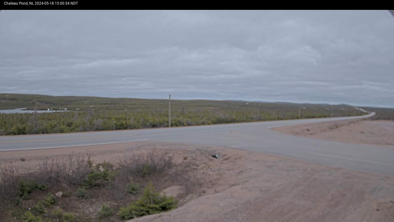
CHATEAU POND
MARY'S HARBOUR
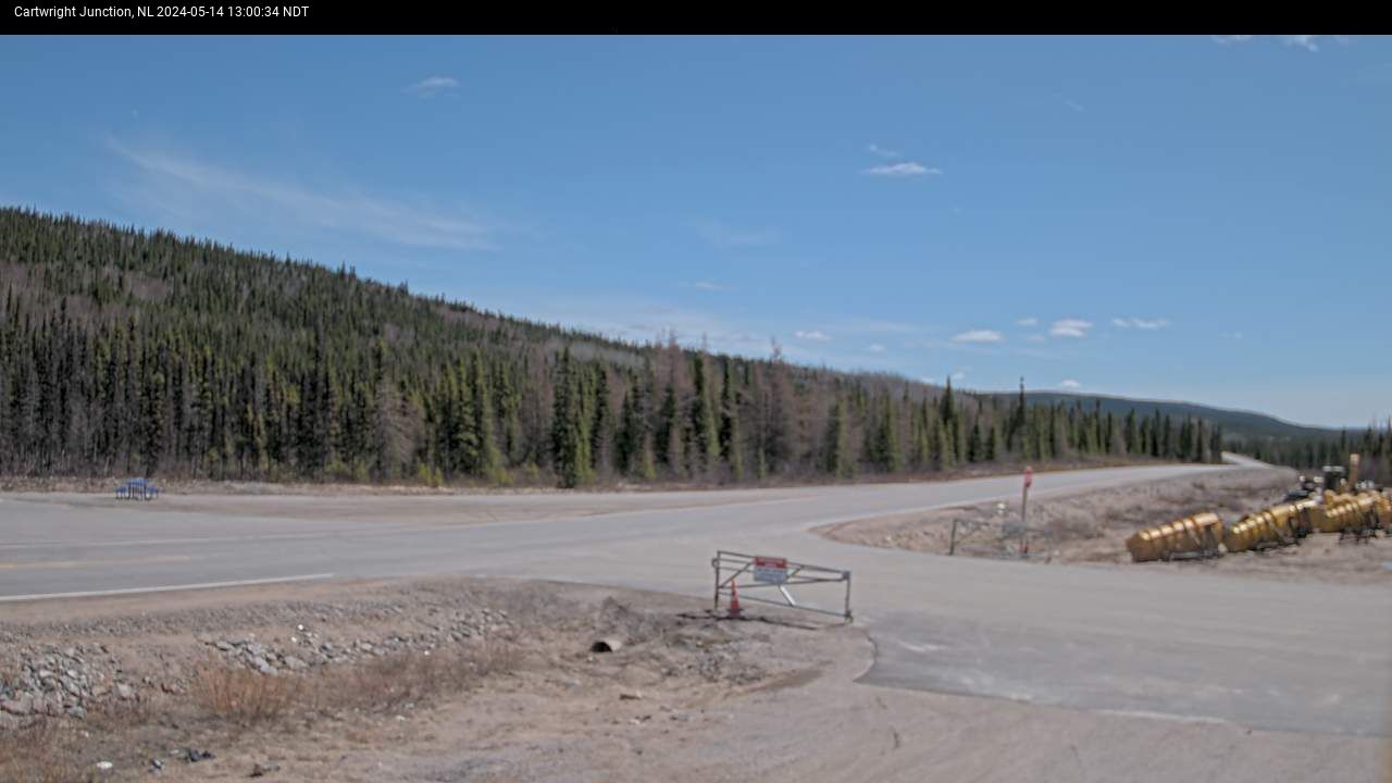
CARTWRIGHT JCT
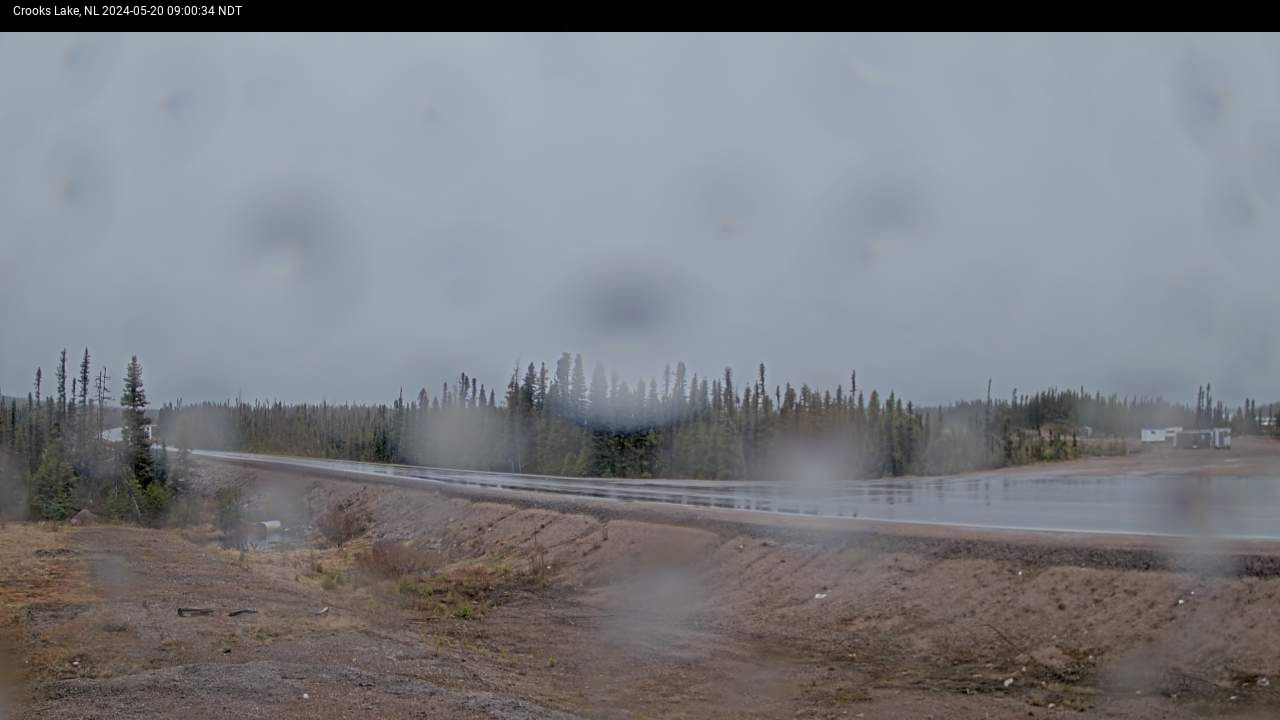
CROOK'S LAKE
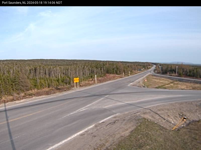
PORT SAUNDERS
FLOWER'S COVE
Currently not updating
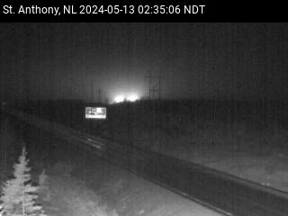
ST. ANTHONY
-
|

|
